
Wondering what’s on over the summer holidays for families? Check out our What’s On guide.
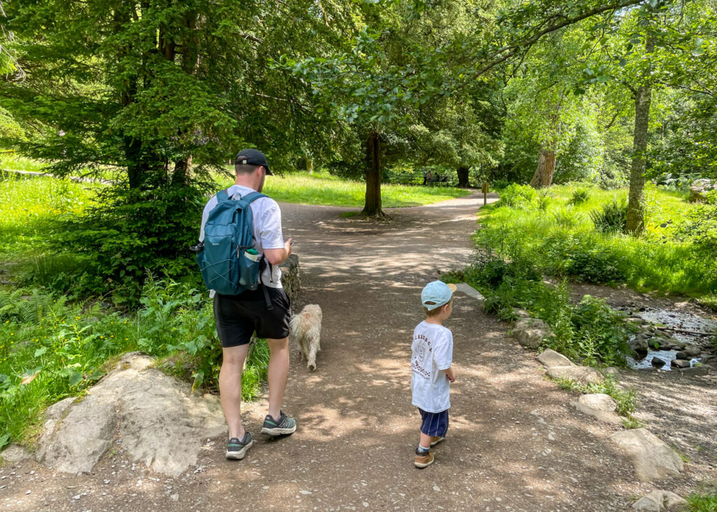
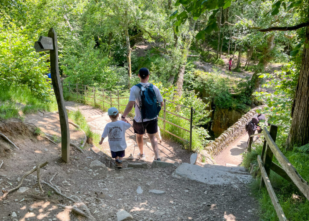
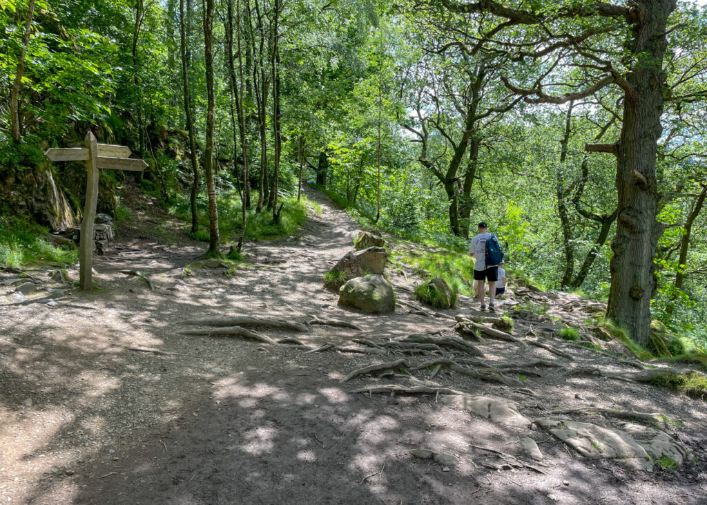
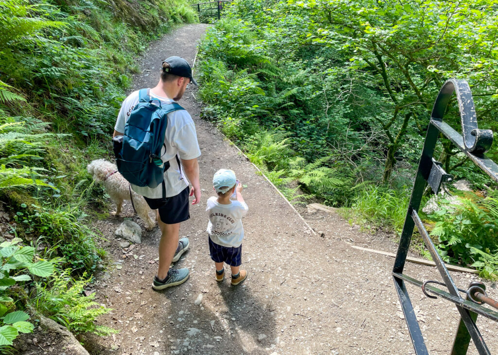
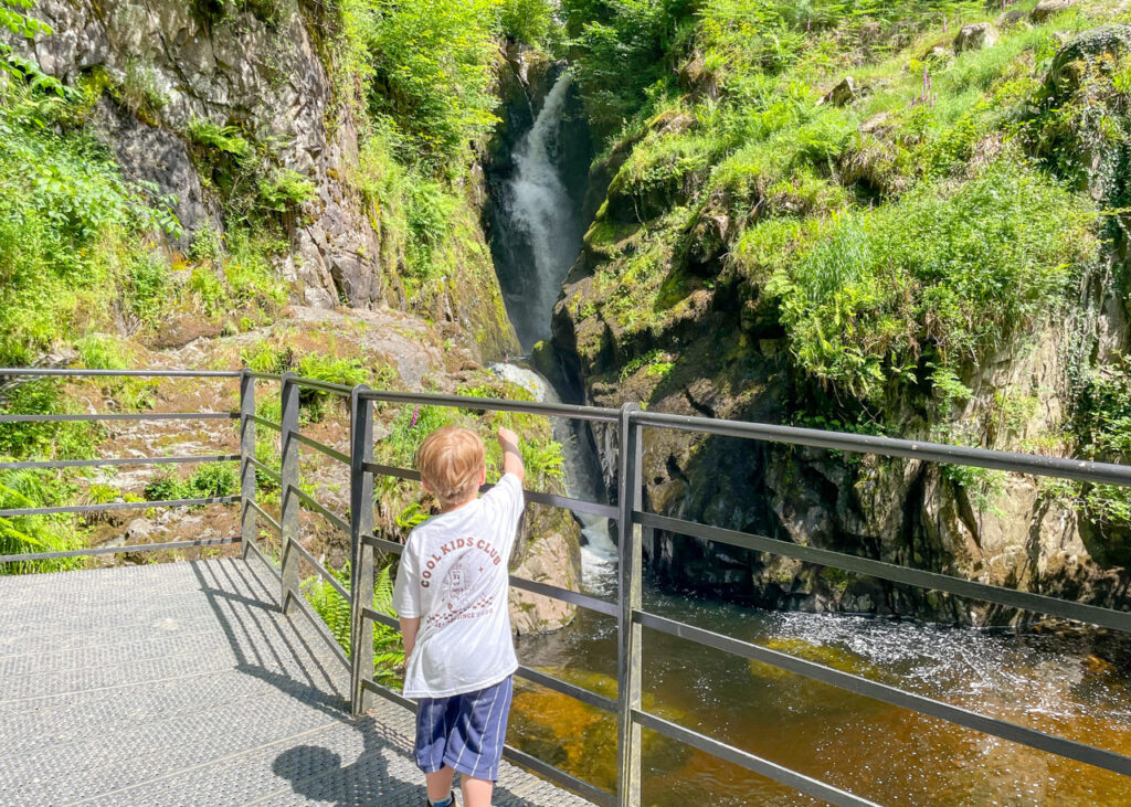
Aira Force is one of the Lake District’s most iconic waterfalls, offering a beautiful short walk with big rewards for very little effort. Children will love navigating the woodland trail, with small steps, bridges and plenty of tree roots to clamber over along the way.
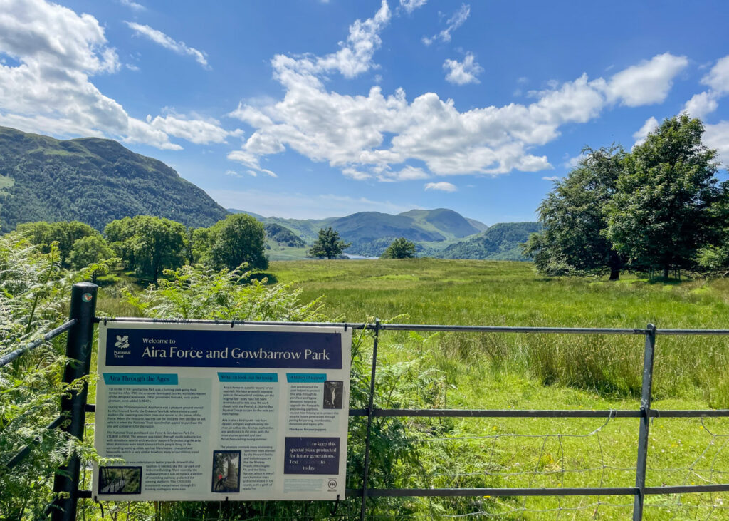
Located just minutes from the shores of Ullswater, the impressive 20-metre waterfall showcases the raw power of nature as it tumbles through ancient woodland. The site was made accessible by the Victorians, who created the well-maintained paths, stone bridges and viewing platforms that visitors still enjoy today. Beyond the waterfall itself, the area also houses an arboretum containing ‘the UK’s girthiest tree’, and is one of the few places in England where red squirrels still live in the wild – so keep your eyes peeled!
Disclaimer: This post contains affiliate links. Should you click to purchase, it is at no additional cost to you, but I receive a small commission.
When planning your visit to the National Park, please arrive early or late in the day to avoid crowds if visiting over sunny weekends or school holidays. Please also take all litter home with you, don’t bring BBQs, and park your car in designated parking areas. Also, please use these walks as a guide; access and stiles may change.
PARKING INFORMATION: Please do not rely solely on the postcode for parking directions. In the National Park, a postcode can cover a large area. Postcodes are only provided as guidance. Please either use the Google Maps point or what3words, which are provided on every walk guide.
Aria Force short waterfall walk map
On all Lake District family walks it’s a good idea to have an Ordnance Survey paper map with you, even if you have your phone on you. For this walk you need the Ordnance Survey Explorer OL5 (The English Lakes – North-eastern Area). It’s also a good opportunity to show young kids the map features and get them started with map reading.
Need to know
DISTANCE OF WALK: 2.2km / 1.4 miles
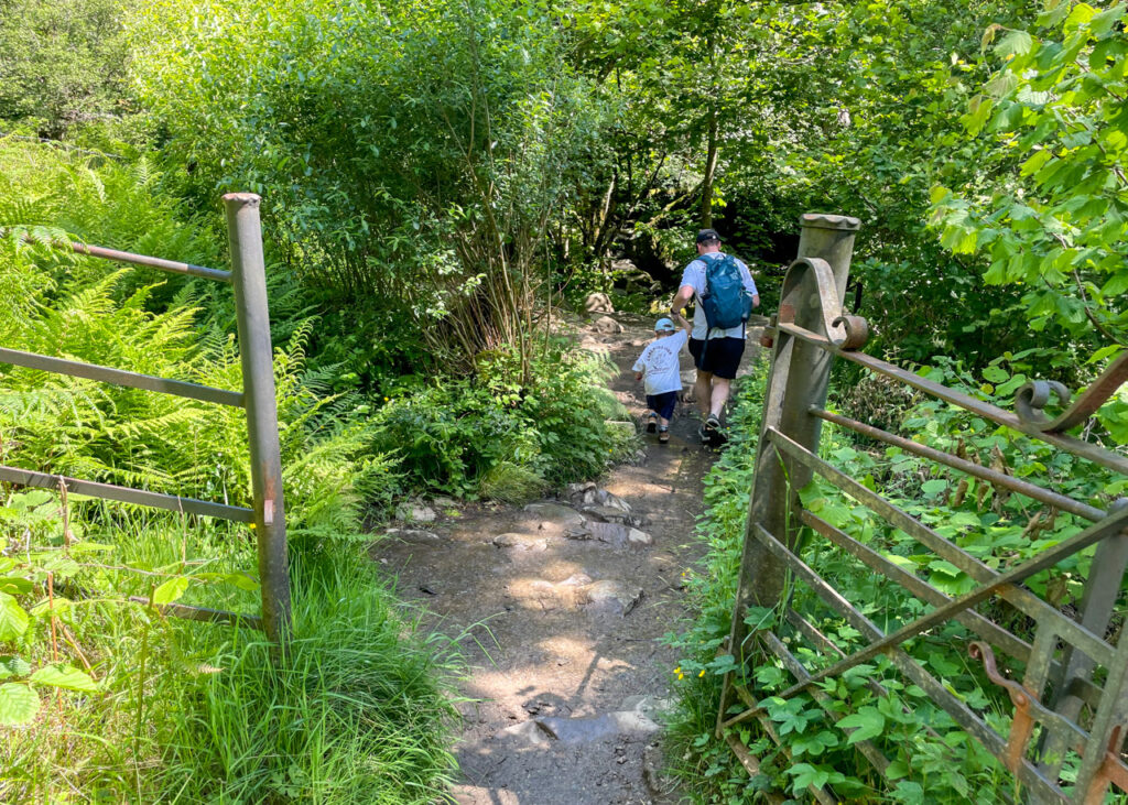
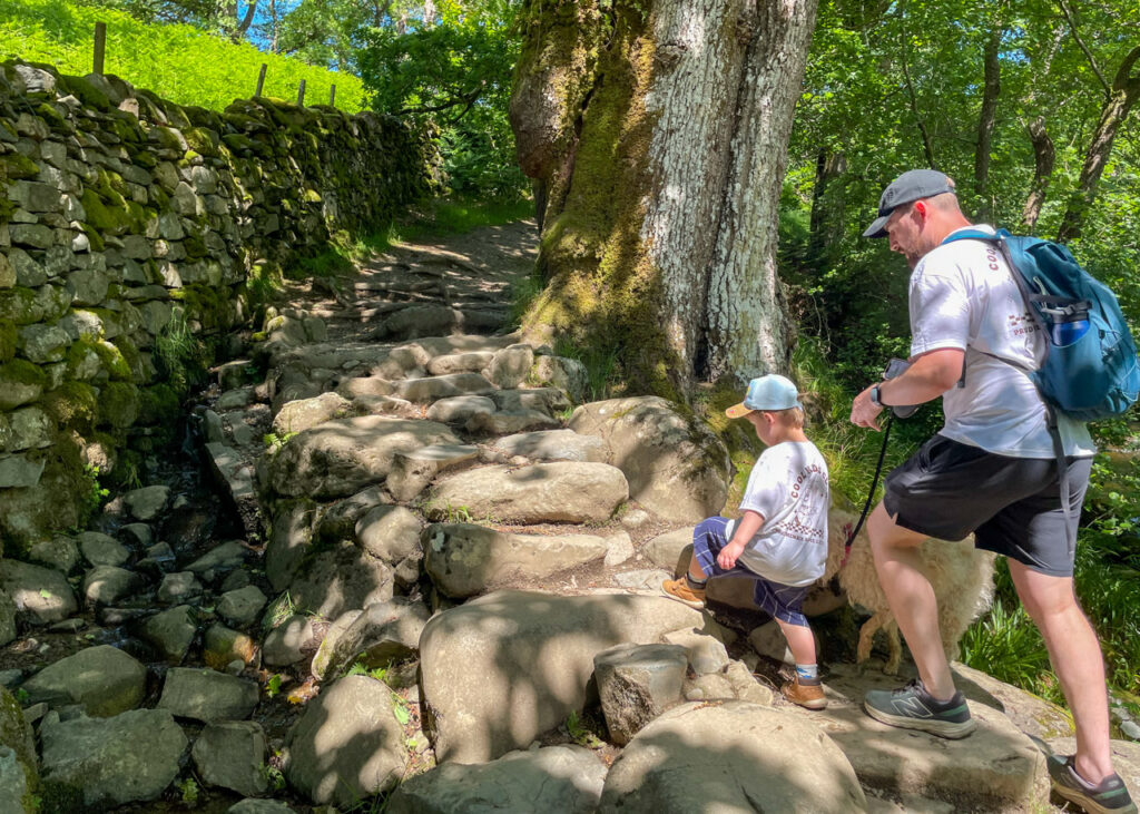
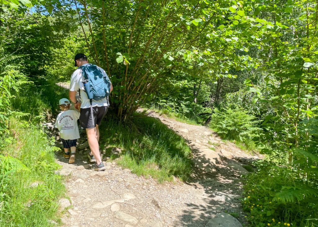
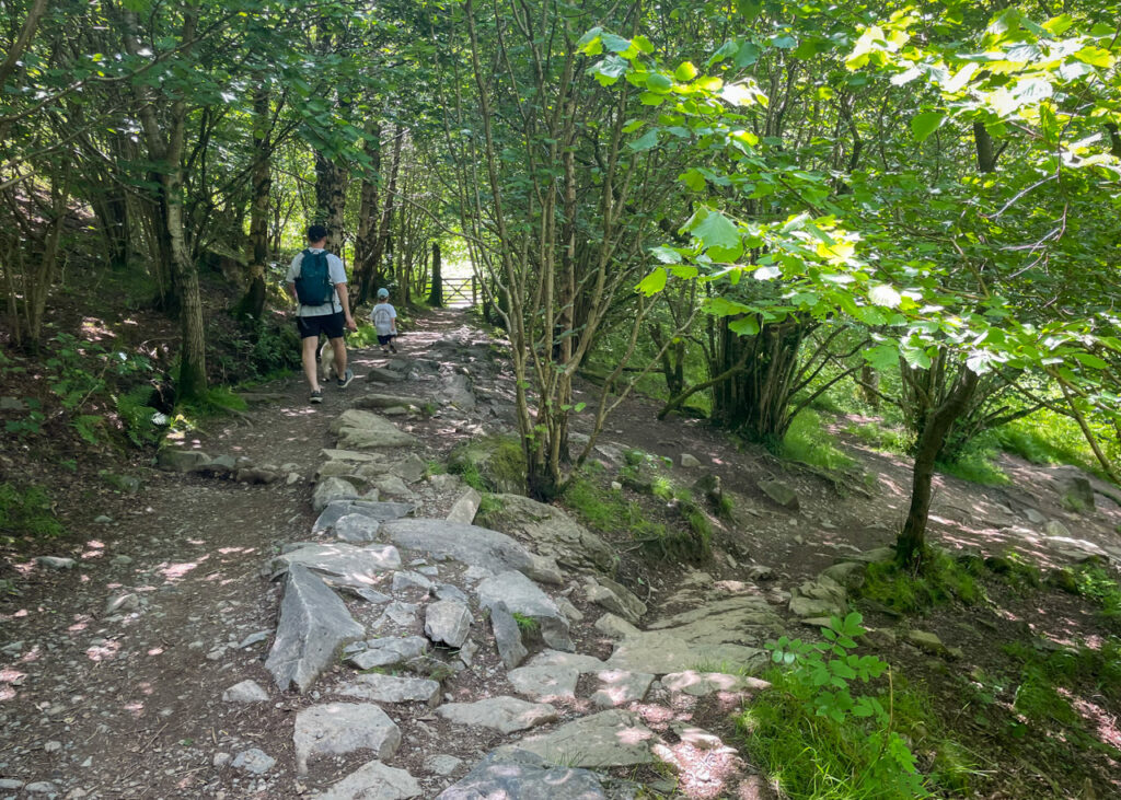
TERRAIN: rocky, gravel paths, some tree roots to navigate, steep uphill and downhill gradients.
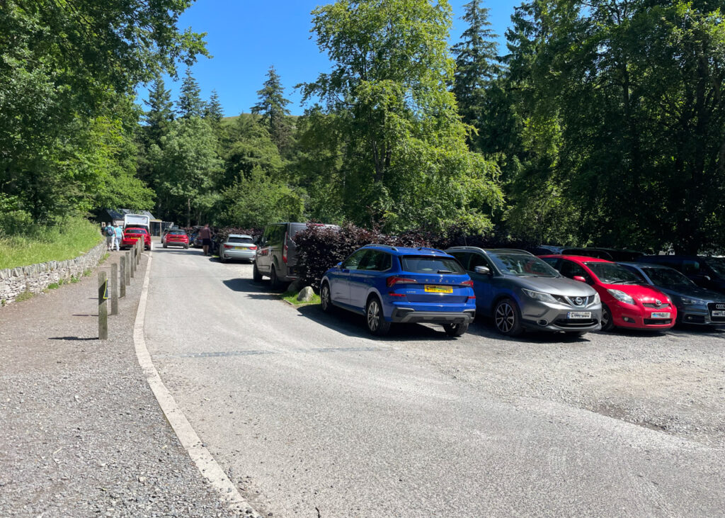
PARKING: Aira Force Car Park. Click here for Google Map point on your phone. Postcode is: CA11 0JS. This is a National Trust car park. FREE for National Trust members. Non-members: £7.00 up to 2 hours; £8.50 up to 4 hours; £10 all day. Parking payment can be made through the JustPark app or at the car park’s machines.
WALK HIGHLIGHTS: Aira Force waterfall and the tearoom at the end. Plus, if you’re lucky, the chance to spot red squirrels.
HOW LONG DOES IT TAKE: Allow between 1-1.5 hours to complete, depending on the confidence of children to navigate tricky terrain underfoot and steep ascents and descents.
TOTAL ASCENT: 123 metres
FACILITIES: There are toilets with changing facilities at the car park as well as a small tea-room serving drinks, snacks and ice cream with indoor and outdoor seating. There are drinking water taps around the car park and tea-room for people to refill drinking bottles.
The route
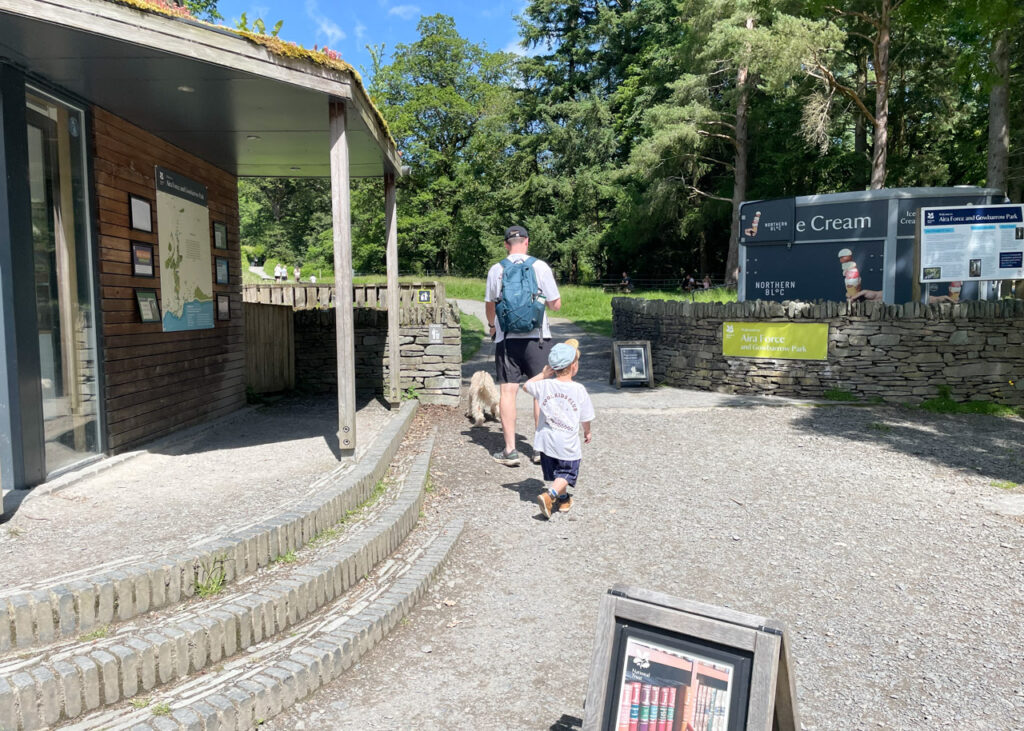
START: Aira Force Car Park
Click here for Google Map point
Grid reference: NY 4008 2009
Post code: CA11 0JS
what3words: ///fight.acrobats.mild
Route follows a clockwise direction.
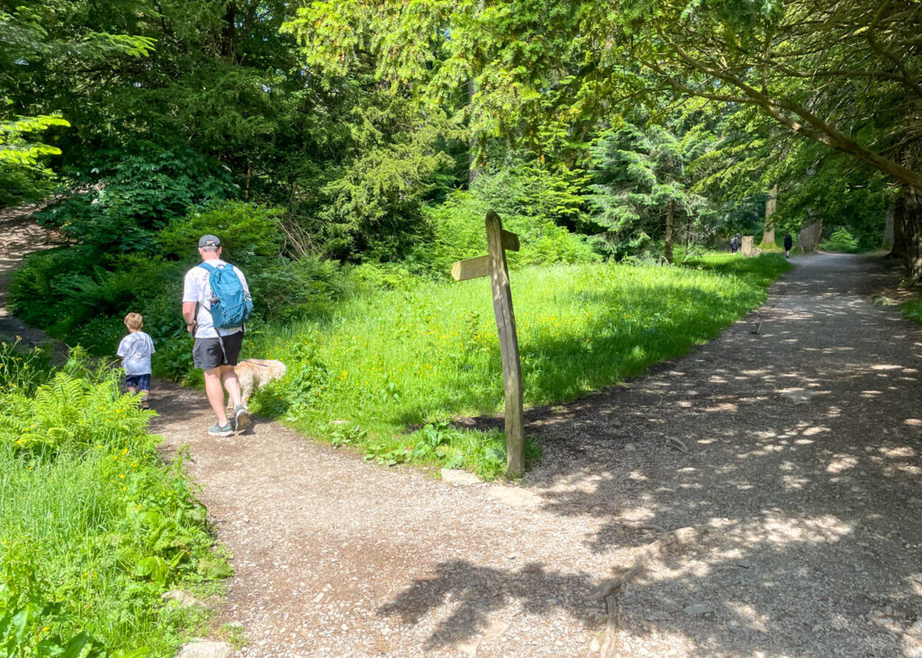
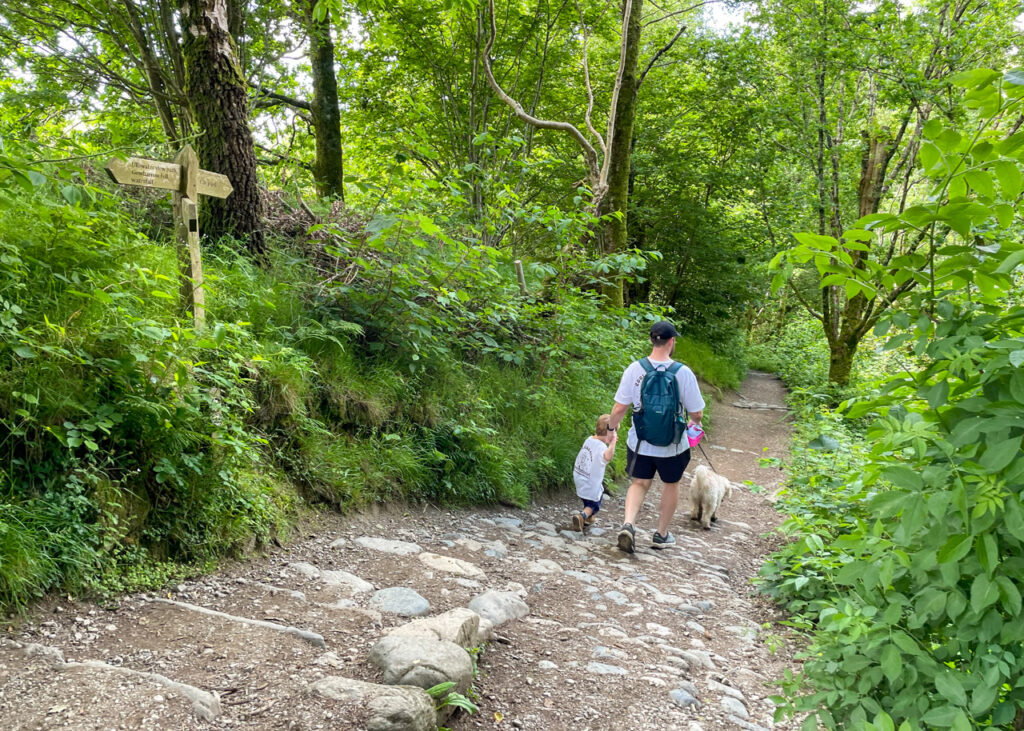
1. Exit the car park to the right hand side of the National Trust building, following the clear, gravel path until it passes through a gap in a stone wall. Almost immediately, cross a small, stone bridge and follow the path as it forks left.
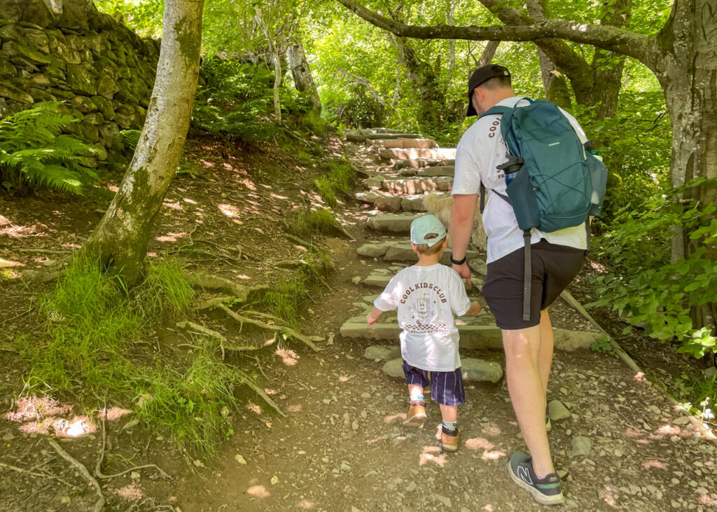
2. After 30m, leave the main route to join a smaller path which splits off to the left, signposted ‘Corsican path waterfall’, following this narrower trail up through lush woodland and past red squirrel feeders. After 200m, climb two sets of steps and emerge at a spectacular viewpoint of the surrounding area. Pause here to read the National Trust information sign ‘Aira Force and Gowbarrow Park’.
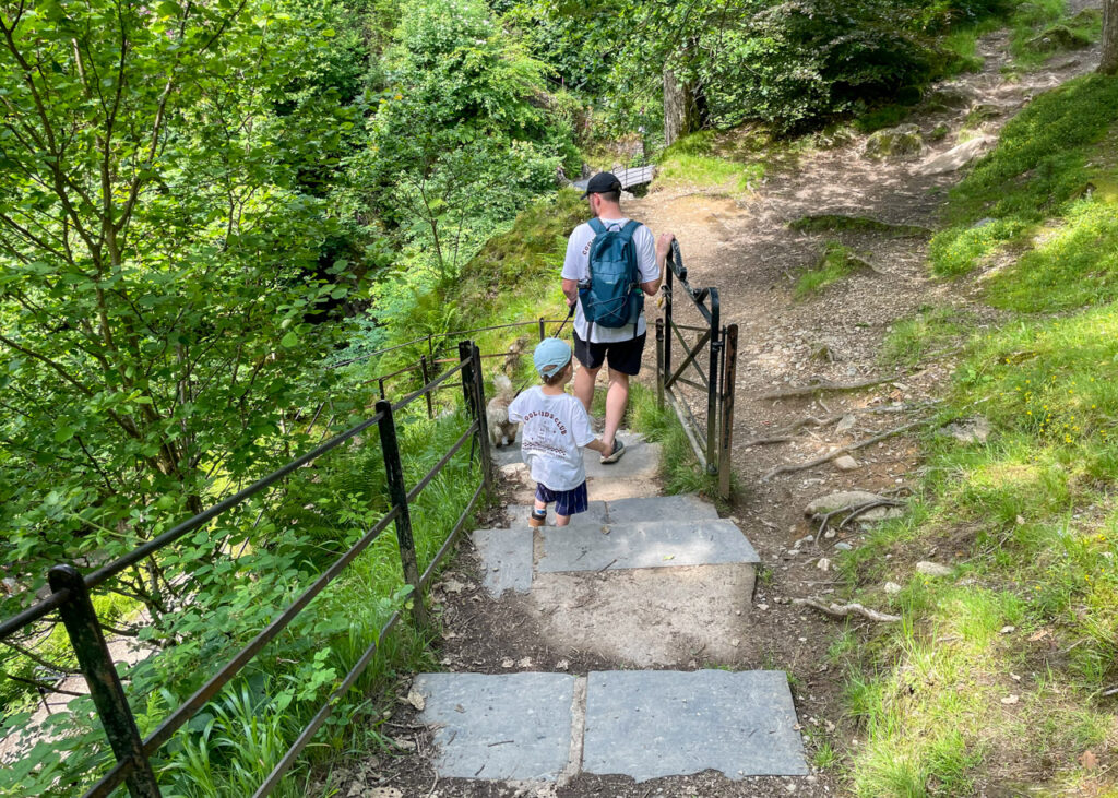
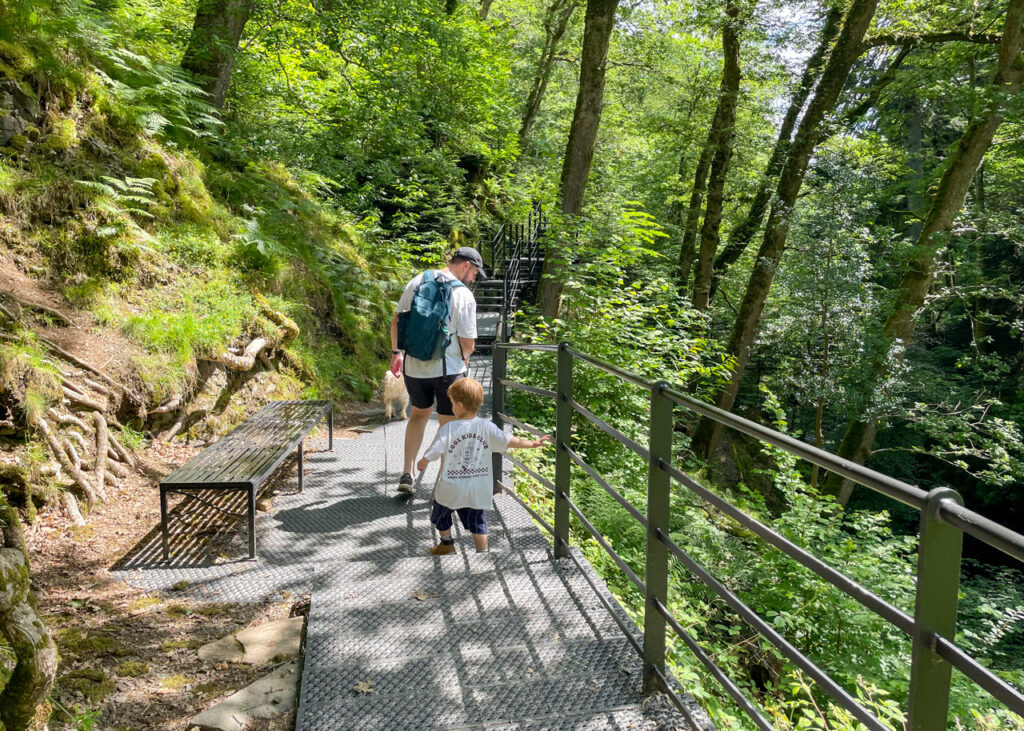
3. The path continues to the right, over a small, stone bridge before opening into a wider path. Follow this path, with safety railings to your right, as it climbs and then descends to reach the force’s higher stone bridge. The route bears left, but a detour can be taken here to enjoy the view from the bridge if desired. Take particular caution here with young children.
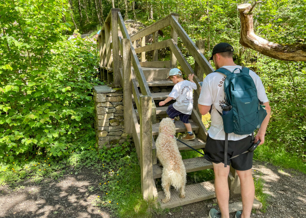
4. Pass through a metal gate which leads you down to the water’s edge. The path runs parallel to the river. Climb the steep, stone steps here carefully and continue ahead on the track, ignoring a fork to the right.
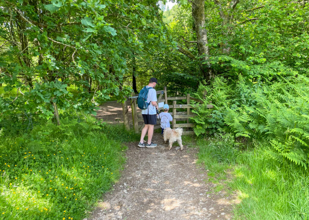
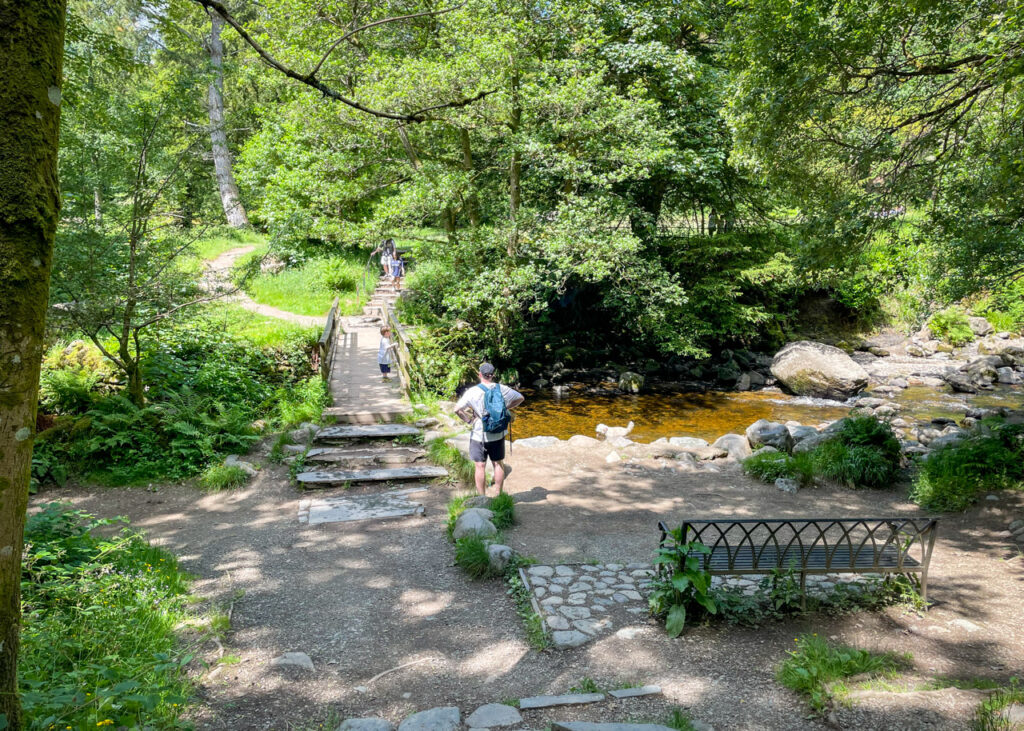
5. The path emerges to an open gravel space. Cross the wooden bridge directly opposite, before immediately turning right to climb a flight of stone steps. Follow the main path, ignoring a fork to the right after 100m, until you reach a wooden gate. Pass through open fields and cross a further wooden kissing gate.
6. The stoned path descends and ends at a T-junction. Bear left and reach a second opportunity to enjoy the view from the higher stone bridge. Do not cross the bridge. Instead, follow the path to the right signposted ‘Sitka Spruce path car park’.
7. Follow the trail down to pass through two metal gates which lead to a smooth, well-maintained gravel path. Turn right to briefly detour to reach the main Aira Force viewing platform before retracing your steps and joining a metal walkway.
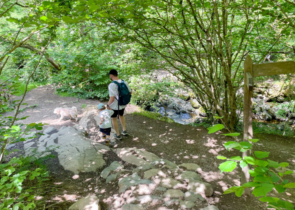
8. The path now winds down through woodland, past the arboretum’s enormous 170-year-old Sitka Spruce tree, before emerging back at ground level by the river. Cross the wooden bridge and climb the short, stone stairs to reach the gravel path which leads back to the Aira Force car park.
Lake District Kids is a free online resource. If you have found this website useful for planning your family adventures, you can show your support by buying us a coffee. Thanks so much!

Also, feel free to share your walk photos in our Lake District Kids Facebook Group or on Instagram using by tagging @lakedistrictkidsuk in your caption so we can share with our wider community.