Wondering what’s on over the summer holidays for families? Check out our What’s On guide.
This Ambleside walk to High Sweden Bridge is a rewarding short circular route that blends classic Lake District scenery with an intriguing piece of local history.
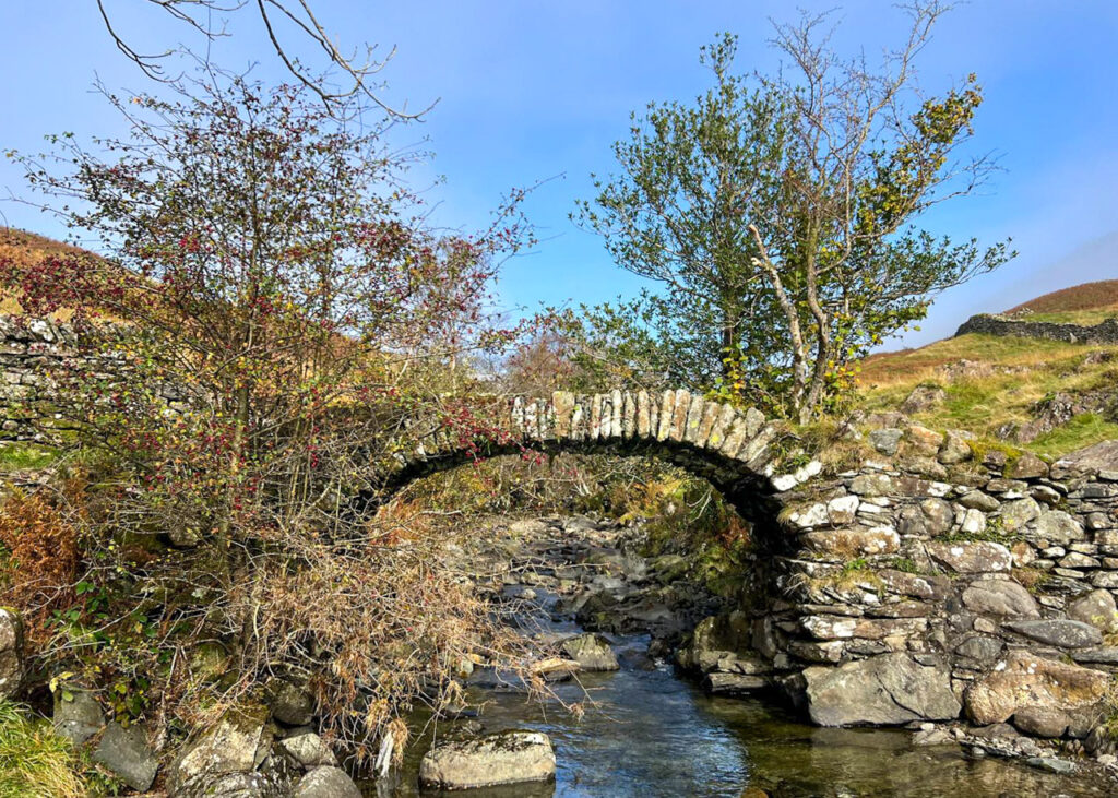
Despite its Scandinavian-sounding name, ‘Sweden’ is thought to derive from the old Norse word swidden, meaning land cleared by burning; a reminder of the area’s Viking heritage that still lingers across Cumbria today. Dating back to the 1700s, High Sweden Bridge was originally built as a packhorse bridge and once formed part of an important trade route through the fells.
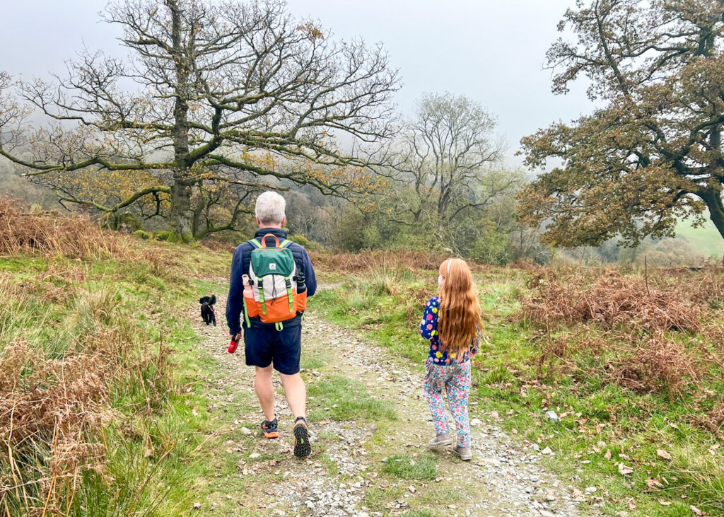
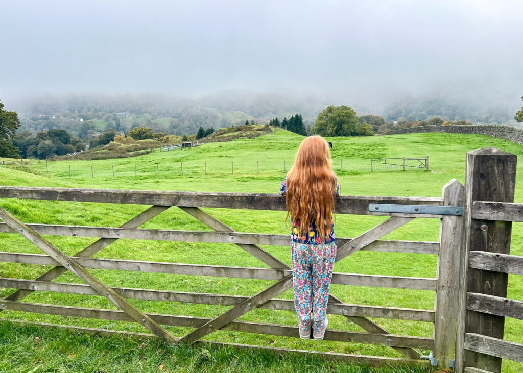
Today, this lovely route leads walkers along quiet lanes, open farmland, and gentle hillside paths, making it an excellent family-friendly walk from the heart of Ambleside.
Disclaimer: This post contains affiliate links. Should you click to purchase, it is at no additional cost to you, but I receive a small commission.
When planning your visit to the National Park, please arrive early or late in the day to avoid crowds if visiting over sunny weekends or school holidays. Please also take all litter home with you, don’t bring BBQs, and park your car in designated parking areas. Also, please use these walks as a guide; access and stiles may change.
PARKING INFORMATION: Please do not rely solely on the postcode for parking directions. In the National Park, a postcode can cover a large area. Postcodes are only provided as guidance. Please either use the Google Maps point or what3words, which are provided on every walk guide.
Ambleside to High Sweden Bridge walk map
On all Lake District family walks it’s a good idea to have an Ordnance Survey paper map with you, even if you have your phone on you. For this walk you need the Ordnance Survey Explorer OL7 (English Lakes South-eastern Area). It’s also a good opportunity to show young kids the map features and get them started with map reading.
Need to know
DISTANCE OF WALK: 5.3km / 3.3 miles
TERRAIN: rocky, uneven paths, can be muddy in wet weather.
PARKING: Rydal Road car park. Click here for Google Map point on your phone for Scout Scar car park. Postcode is: LA22 9AN. Parking for up to 3 hours is £5.80, all day is £10.60. Payment by cash (no change), card, or pay by phone (9917). This car park gets full very quickly, so you may need to park at one of the other car parks in Ambleside.
WALK HIGHLIGHTS: views, and a glimpse of Norse heritage at High Sweden Bridge
HOW LONG DOES IT TAKE: This walk can be done in 2.5 hours, but with young kids allow closer to 3.5 hours.
TOTAL ASCENT: 252 metres
FACILITIES: There are public toilets at the car park and a good choice of cafes, pubs, and shops in Ambleside.
The route
START: Rydal Road car park
Click here for Google Map point
Grid reference: NY 3755 0470
Post code: LA22 9AN
what3words: ///nitrate.boats.untrained
Route follows an anticlockwise direction.
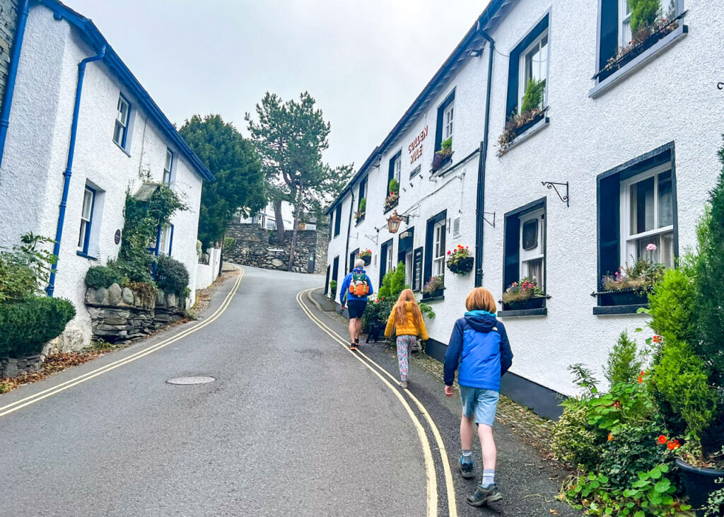
1. From the car park, cross over the mini roundabout and walk up Smithy Brow. Just past the Golden Rule pub, follow Kirkstone Road around to the left. Then after 70 metres, take Sweden Bridge Lane on your left.
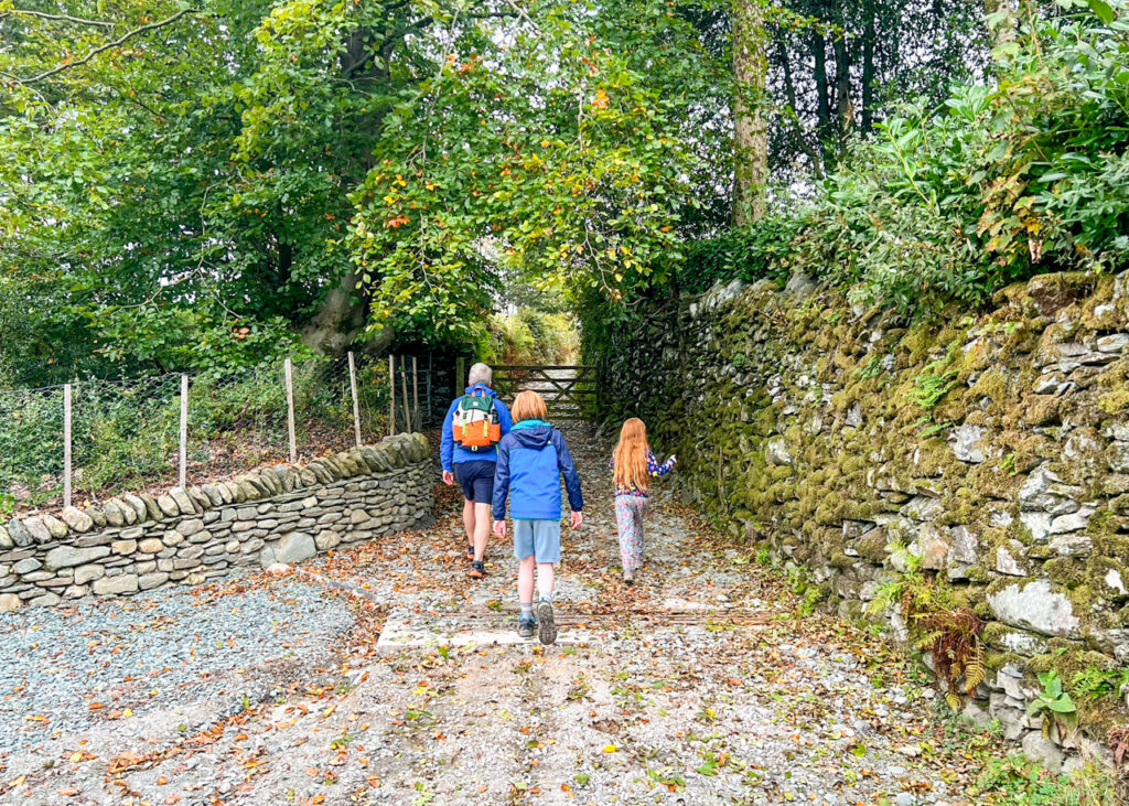
2. After a gentle uphill walk of 380 metres, Sweden Bridge Lane come to and end at a gate. Go through the gate, and follow the track as it takes you up into the hills. Make sure you look to the right, where you’ll see the folly known as ‘The Tower of Friendship and Beauty’. Built in the 19th Century, visitors including William Wordsworth carved their names into the rock.
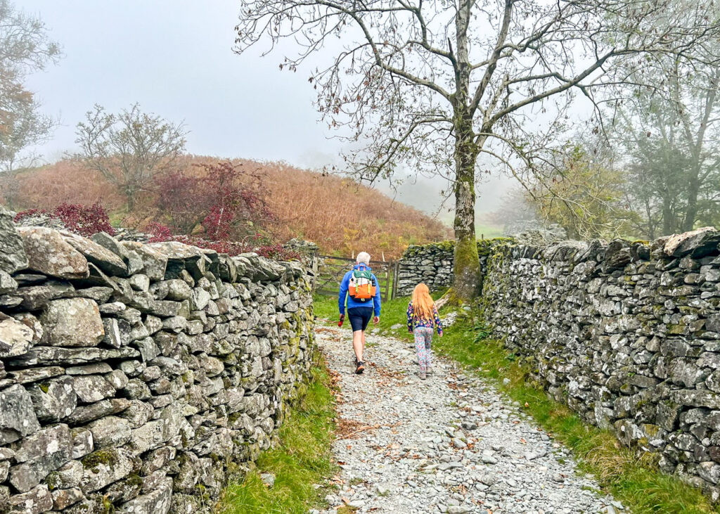
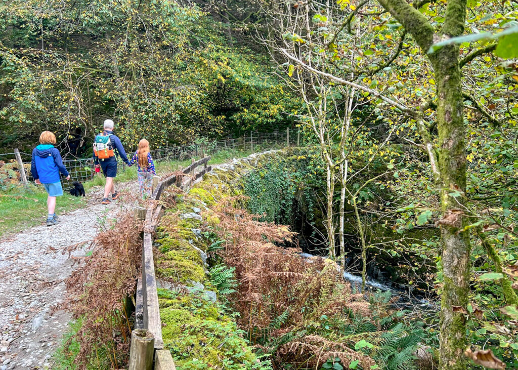
3. Keep following this track for 1.8km through the fields. It is very easy to follow, and it’s a slow and steady climb. You’ll pass Sweden Wood along the way, which is through a signed gate if you fancy the detour.
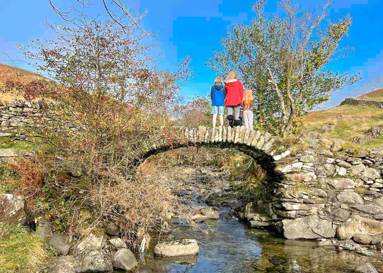
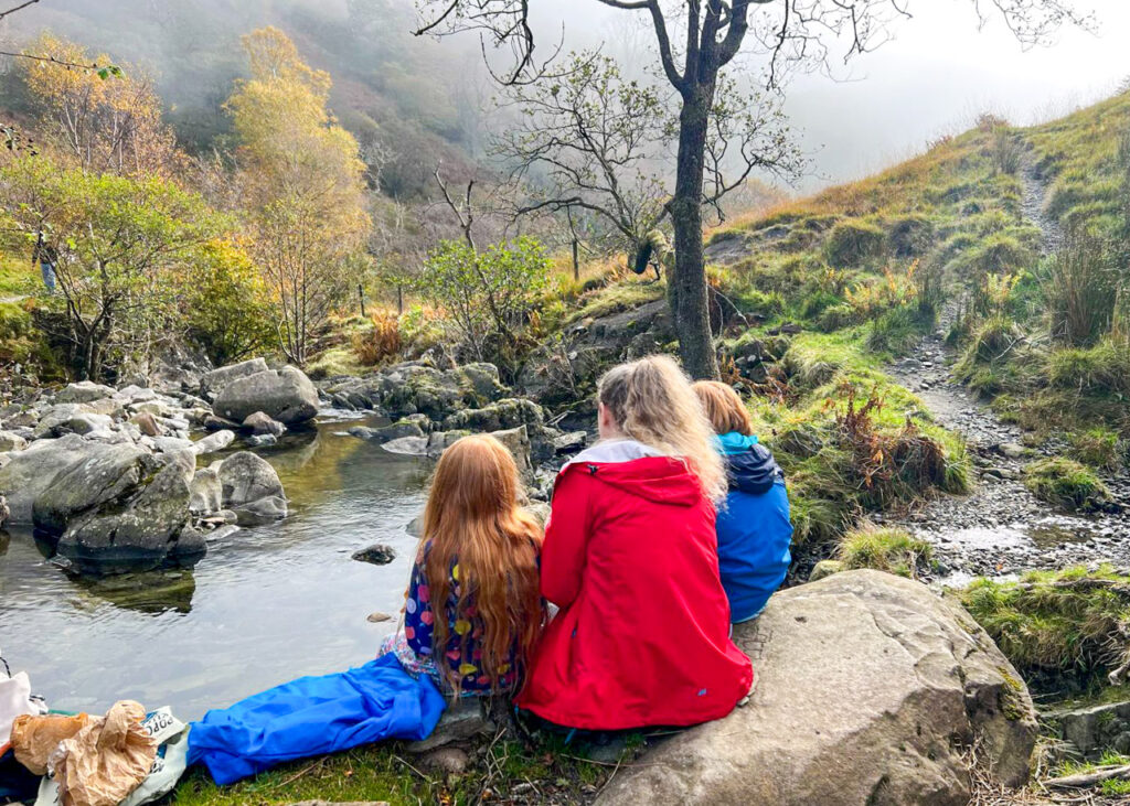
4. You will eventually reach the very beautiful High Sweden Bridge. It is quite amazing to think that it has stood for so many years, through all the floods that have destroyed so many other bridges and buildings in the area. This is an excellent picnic stop, although many walkers will have the same idea, even on a grey day.
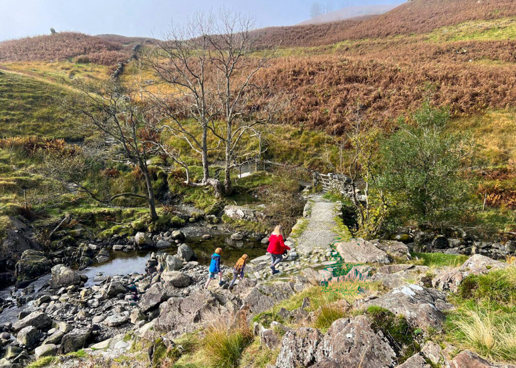
5. To continue this circular walk, go out of the gate after the bridge, and follow the stepped stones up the (fairly steep) hill. Go over a stile, then up more stepped stones. You’re now at the highest point of the walk! It’s downhill all the way from here.
6. Once you’ve reached the top of the steps, follow the very obvious path as it heads left through the fields and down towards Ambleside. Look out for Highland Cows!
7. Near the bottom of the hill, the path takes a sharp left. Here you will cross Low Sweden Bridge, which isn’t nearly as famous (or picture worthy). Take this as your sign that you’ve nearly completed the walk.
8. After crossing the bridge, continue along the path through a gate and through Nook End Farm. This leads out onto Nook Lane. Follow the lane downhill for 800 metres until you reach the mini roundabout from the start of the walk. Turn right here and you will see the car park.
Lake District Kids is a free online resource. If you have found this website useful for planning your family adventures, you can show your support by buying us a coffee. Thanks so much!

Also, feel free to share your walk photos in our Lake District Kids Facebook Group or on Instagram using by tagging @lakedistrictkidsuk in your caption so we can share with our wider community.