Wondering what’s on over the summer holidays for families? Check out our What’s On guide.
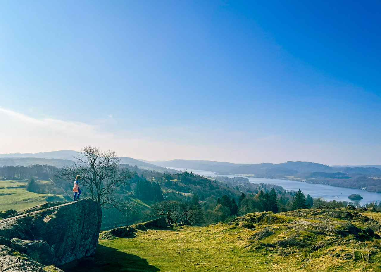
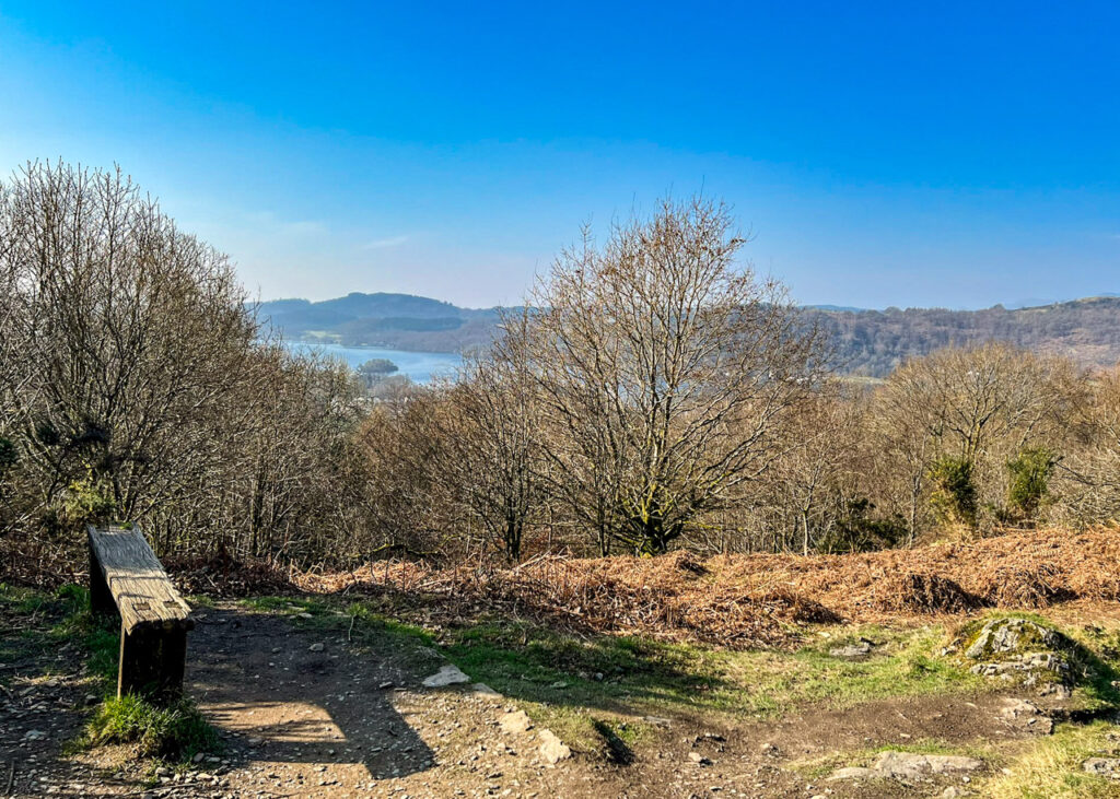
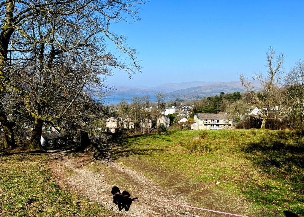
This short but rewarding family walk from Bowness-on-Windermere climbs through quiet woodland and open fields to the summit of Brant Fell, where panoramic views over Lake Windermere make the uphill effort worthwhile. Although steep in sections, the ascent is relatively short, making it a great option for families with younger children, with plenty of reward waiting back in town afterwards.
Parking in Bowness can become exceptionally busy during weekends and school holidays, so we recommend arriving early to begin your walk. Afterwards, refuel in town and then make the most of a family day out with one of the many nearby attractions, such as The World of Beatrix Potter Attraction or Windermere Jetty Museum, or take a ferry or scenic cruise out on Lake Windermere.
Disclaimer: This post contains affiliate links. Should you click to purchase, it is at no additional cost to you, but I receive a small commission.
When planning your visit to the National Park, please arrive early or late in the day to avoid crowds if visiting over sunny weekends or school holidays. Please also take all litter home with you, don’t bring BBQs, and park your car in designated parking areas. Also, please use these walks as a guide; access and stiles may change.
PARKING INFORMATION: Please do not rely solely on the postcode for parking directions. In the National Park, a postcode can cover a large area. Postcodes are only provided as guidance. Please either use the Google Maps point or what3words, which are provided on every walk guide.
Brant Fell walk map
On all Lake District family walks it’s a good idea to have an Ordnance Survey paper map with you, even if you have your phone on you. For this walk you need the Ordnance Survey Explorer OL7 (English Lakes South-eastern Area). It’s also a good opportunity to show young kids the map features and get them started with map reading.
Need to know
DISTANCE OF WALK: 3.2km / 2 miles
TERRAIN: rocky and uneven footpaths, steep in places.
PARKING: Rayrigg Road Car Park. Click here for Google Map point on your phone. Postcode is: LA23 3BZ.
WALK HIGHLIGHTS: views, cake or ice-cream in Bowness at the end of the walk.
HOW LONG DOES IT TAKE: Allow 1.5 hours for this walk, may be bit longer with little legs (although they seem to get downhill much quicker!)
TOTAL ASCENT: 150 metres
FACILITIES: Public toilets at the car park, and lots of cafés and pubs in town for food and drinks afterwards.
The route
START: Rayrigg Road Car Park
Click here for Google Map point
Grid reference: SD 4032 9712
Post code: LA23 3BZ
what3words: ///trendy.huddling.whirlwind
Route follows an anticlockwise direction.
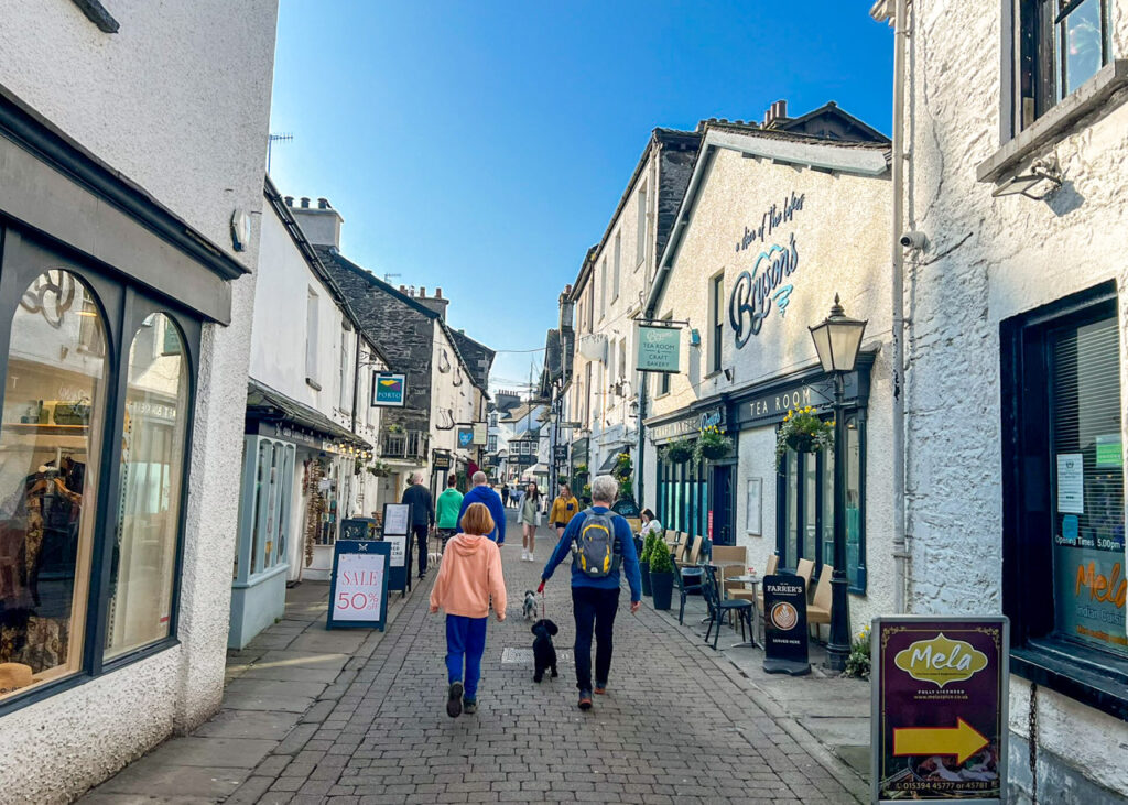
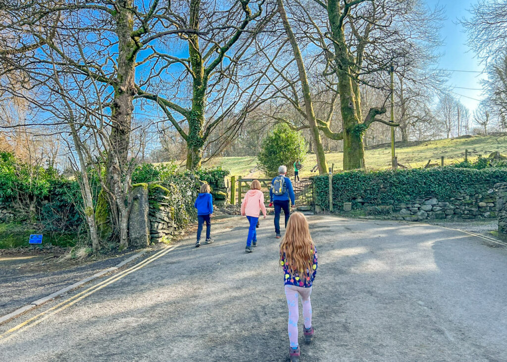
1. Turn right out the car park and walk to the mini roundabout in the centre of Bowness, with The Albert on your left. Take the pedestrian road straight ahead to the left of Joules.
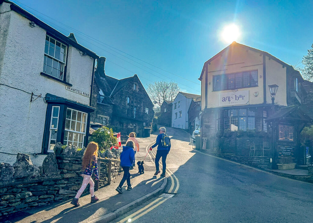
2. Turn left at the end along Kendall Road and then left again after 30 metres into Brantfell Road.
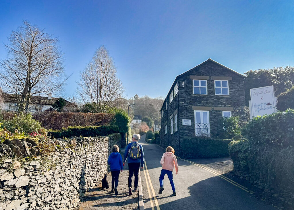
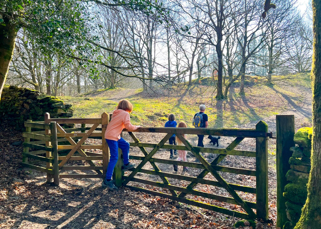
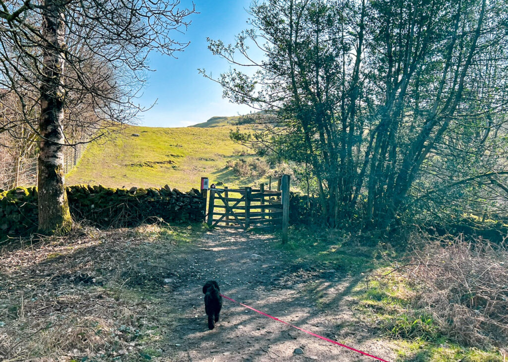
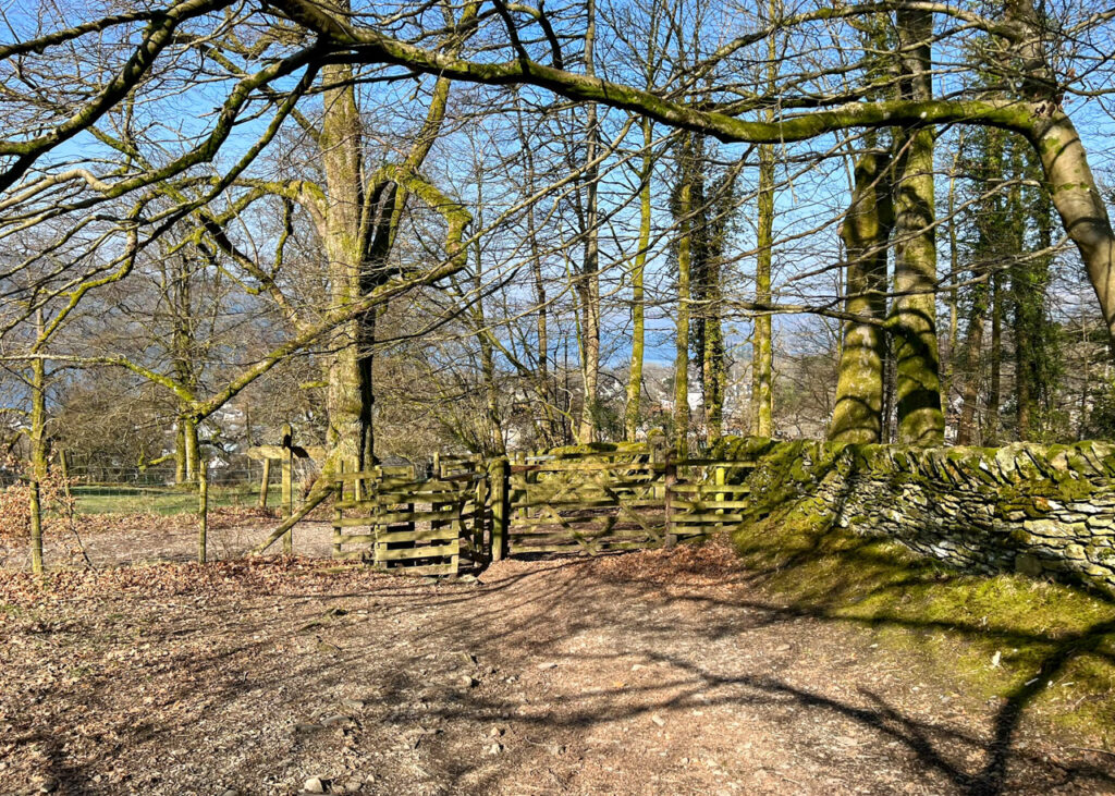
3. Continue following this road steadily uphill for 350m, until you reach a gate at the end. Walk through the gate and stop for a quick play on the swing.
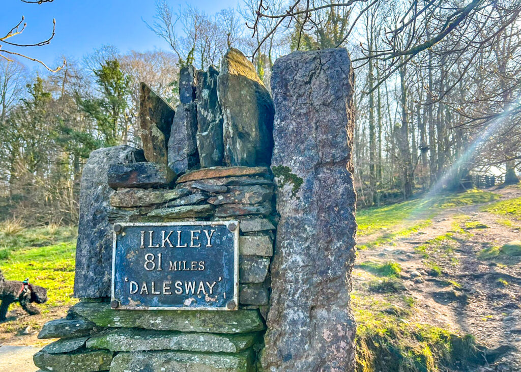
4. Follow the footpath and pass the sign for Ilkley as you walk across the field.
5. Walk through the kissing gate at the top of the field and turn right along the path, signposted Post Knott.
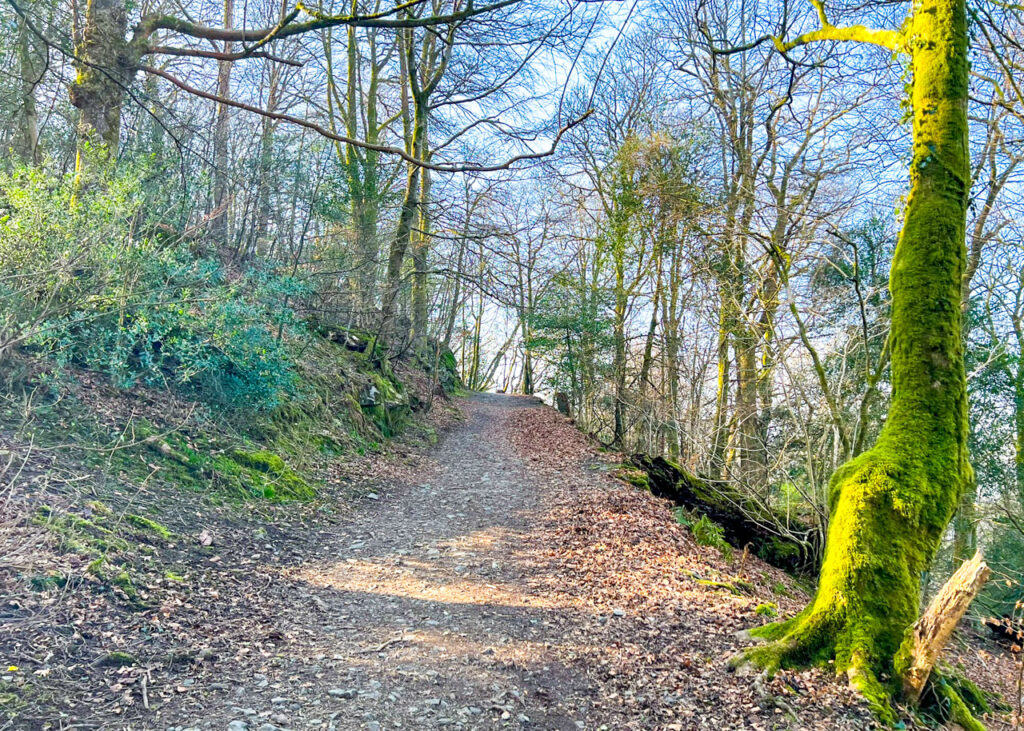
6. Follow this path as it leads through the woodland and narrows slightly. The path then bears left and is obvious to follow.
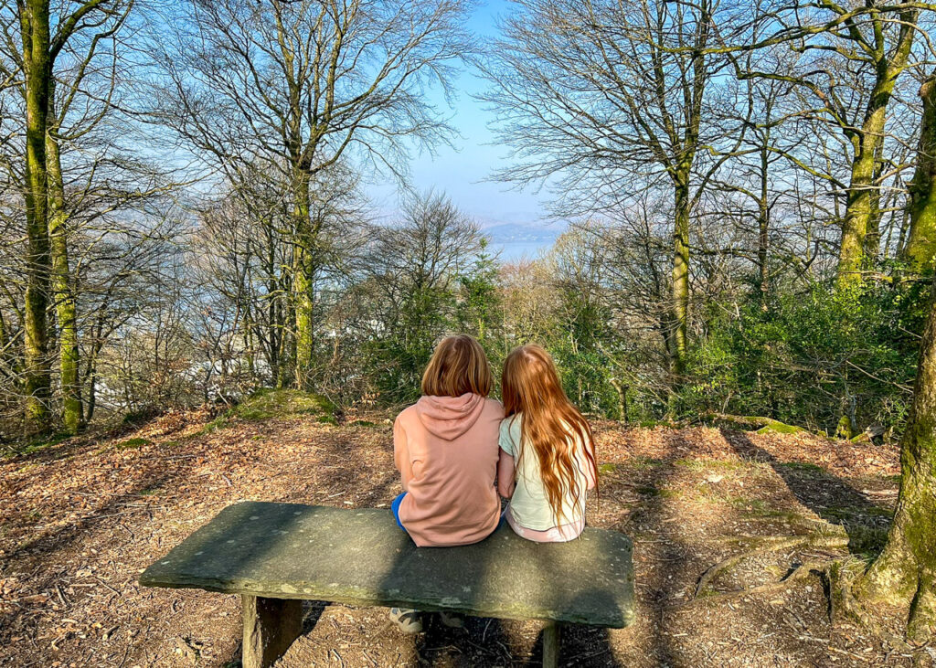
7. As you continue, the path with head round and up to a slate bench. This is Post Knott; a good place for a drink or a snack.
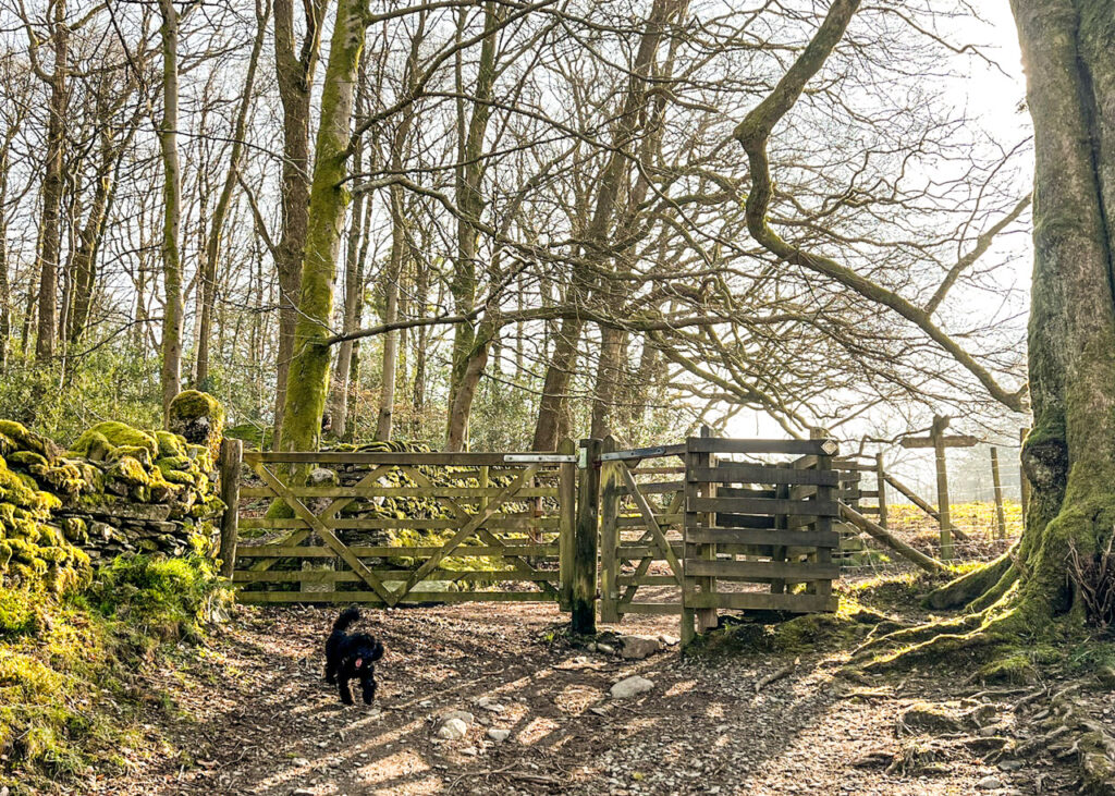
8. After Post Knott, return back down to the path and you will see another kissing gate, that leads on to a field. Go through this gate.
9. Follow the path straight ahead. It can sometimes be rather muddy through here. Further along there’s a well-placed bench for a rest with a view.
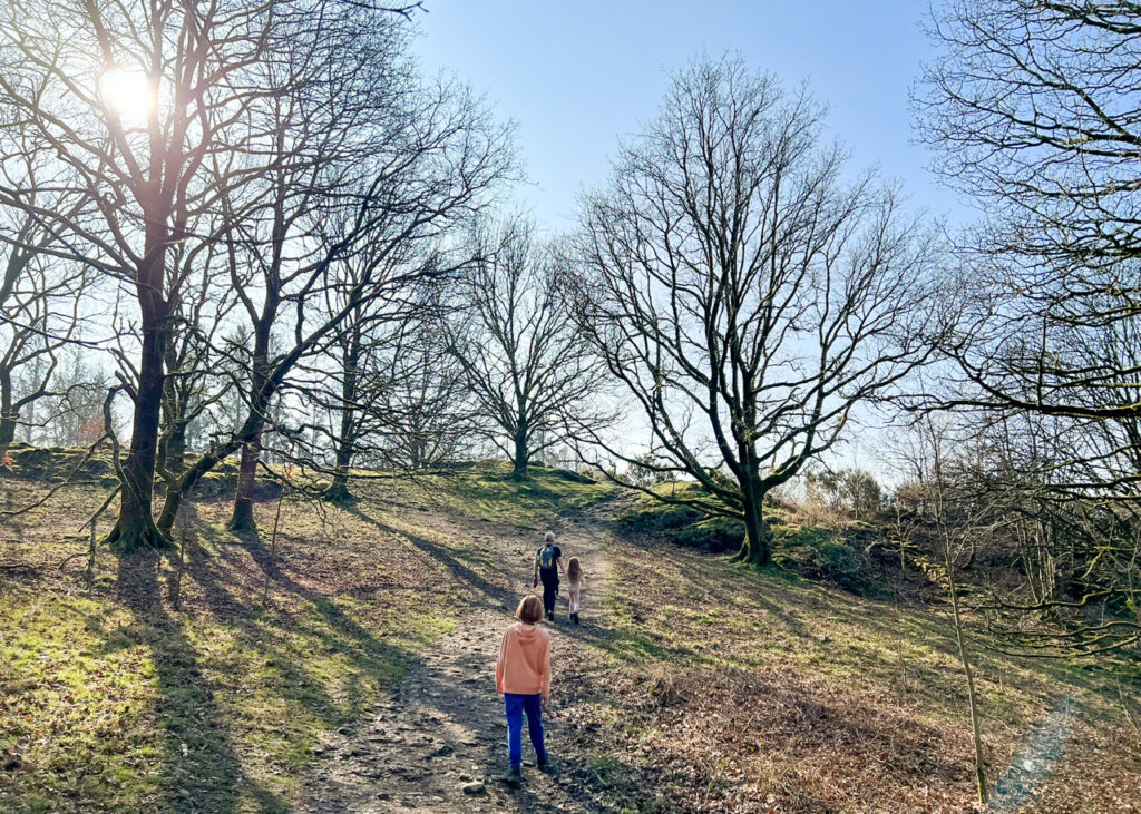
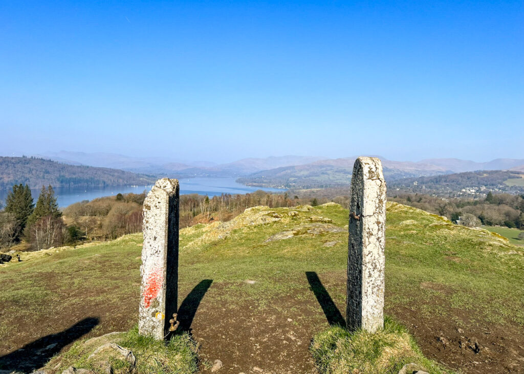
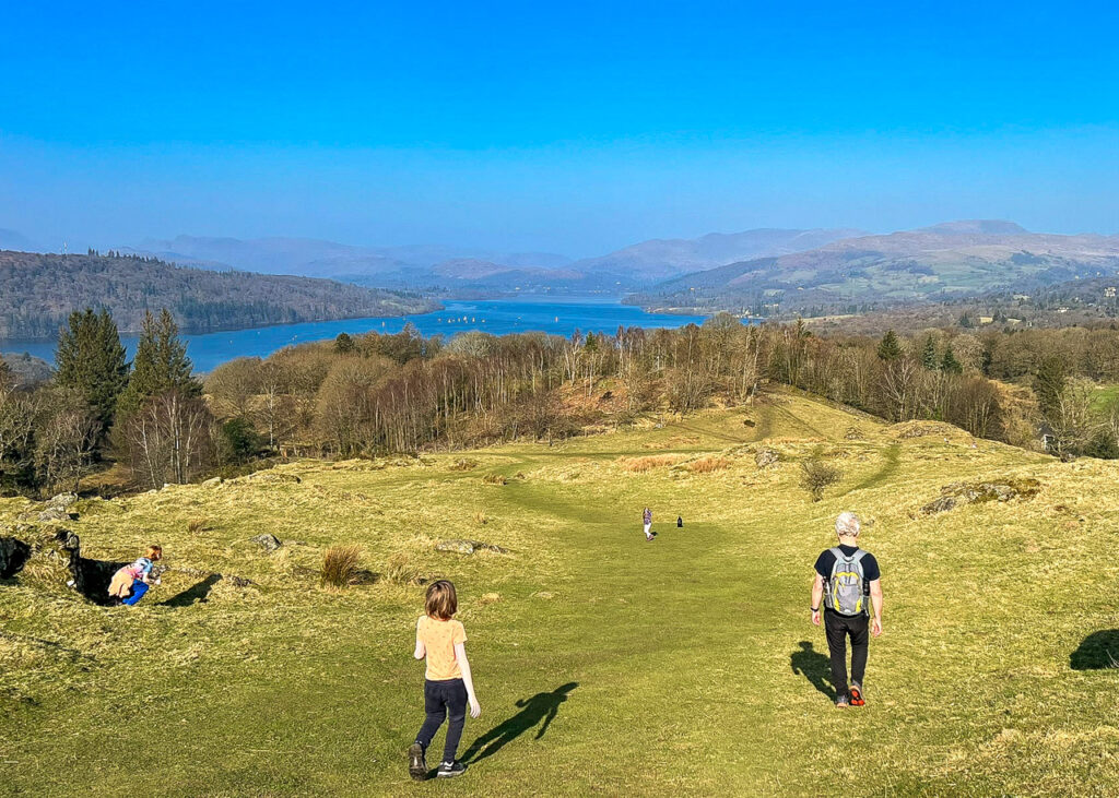
10. Eventually you’ll come to the final gate on the way up Brant Fell. Go through this and then take the obvious path up. You can see the summit from here so you know where you’re aiming for! This is marked by two old gateposts. Once you’ve reached the top, relax and enjoy the view.
11. To return to town, head back down the fell the way you came up towards the gate. But don’t aim for the gate. Instead, head to the right along the fence until you see a kissing gate to go through.
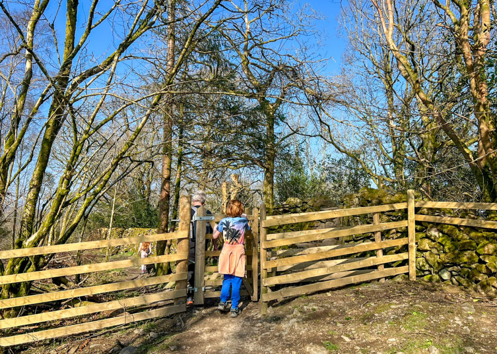
12. Immediately after the gate, go over the stone stile to your right.
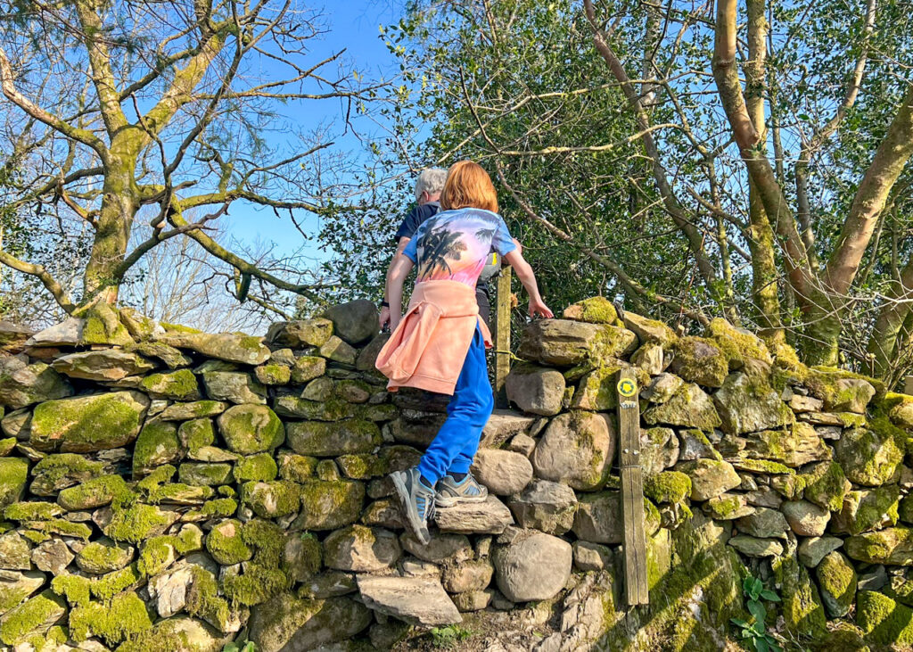
13. Make your way down the field to the stone wall at the bottom. Once you reach the wall, turn left and follow the wall until it brings you to a gate.
14. Walk through this gate, then cross the path and go straight through the next gate too. This brings you onto the field you started in.
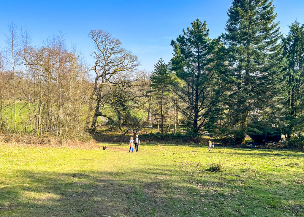
15. Follow the path through the field, past the swings and out onto Brantfell Road. From here you will make your way back through Bowness-on-Windermere to where you started this walk.
Lake District Kids is a free online resource. If you have found this website useful for planning your family adventures, you can show your support by buying us a coffee. Thanks so much!

Also, feel free to share your walk photos in our Lake District Kids Facebook Group or on Instagram using by tagging @lakedistrictkidsuk in your caption so we can share with our wider community.